

When availability is unclear, drivers spend more time searching, increase traffic on busy streets, and may leave before reaching their destination.

Commuters, residents, visitors, events, deliveries, and local businesses create different parking demands by location and time of day.

Curbside spaces, municipal garages, and surface lots are often managed through separate systems, making overall performance difficult to measure and manage.
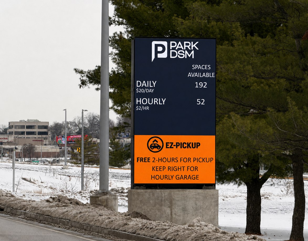
Fixed rates, time limits, and enforcement practices may not reflect actual demand, leaving some areas congested while nearby capacity remains underused.

Without reliable occupancy and utilization data, cities must rely on patrols, complaints, and incomplete information to guide operational decisions.
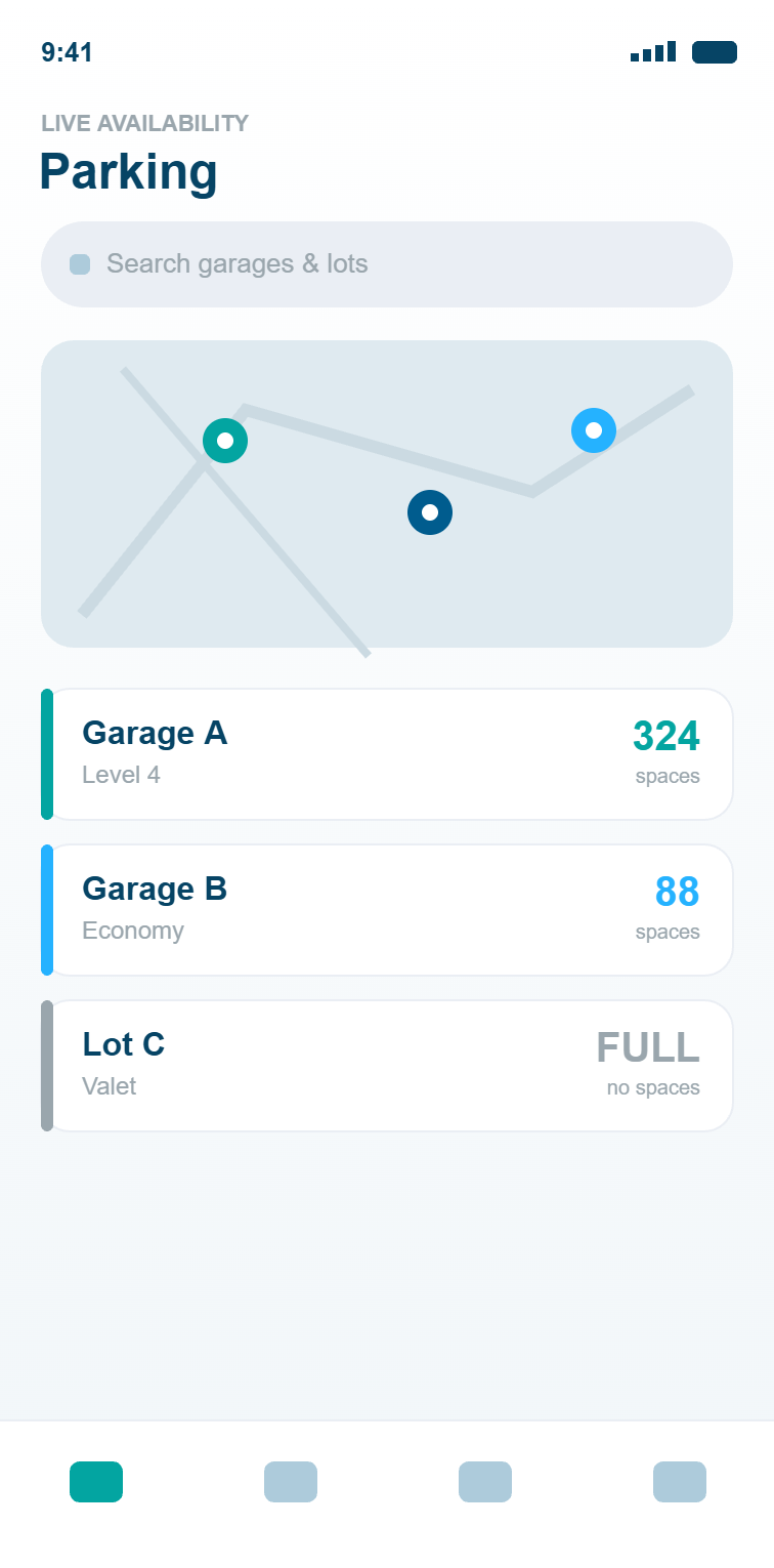

View live availability, rates, restrictions, payment options, and destination information before starting the trip.
Follow mobile directions and dynamic signage to the right parking asset based on destination, availability, rates, and current conditions.
Use real-time parking information to find an available curbside space, surface-lot space, or municipal garage.
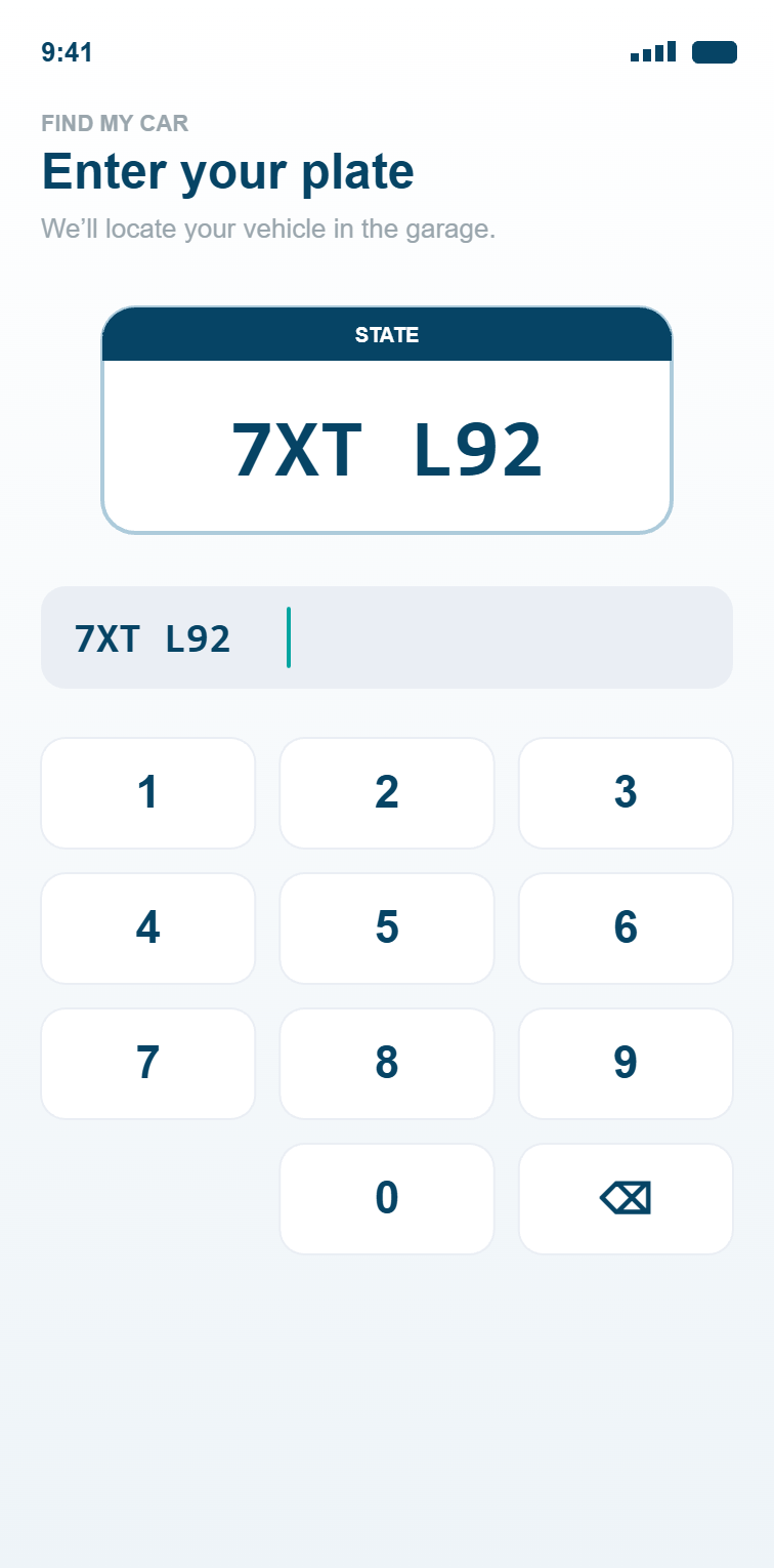
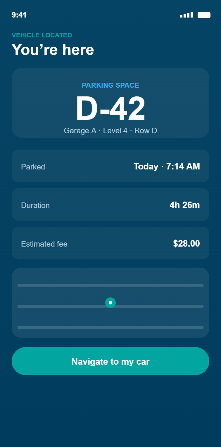
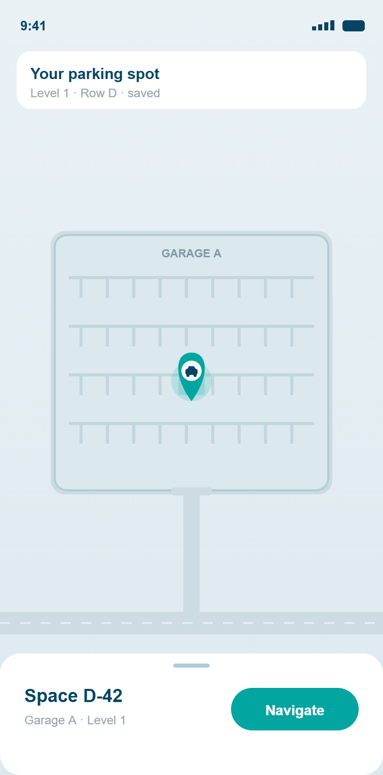
Manage the parking session, save the vehicle's location, and receive walking directions back to the parked car.
PGS brings together sensors, signage, software, mobile tools, integrations, installation, commissioning, and ongoing support through one accountable partner.
PGS technologies are engineered for accuracy, reliability, and long-term performance across high-volume public environments where system performance directly affects access, traffic flow, and revenue.
Open APIs and a solution-oriented engineering approach connect PGS with existing PARCS, payment, enforcement, permit, mobile, security, and municipal data systems.
Responsive service, flexible system design, and long-term integration support help municipal teams adapt as policies, technologies, districts, and parking demand change.












Two downtown garages with 350 spaces, and a matrix sign built into a custom rock casing.

We use cookies to improve your experience on our site. By using our site, you consent to cookies.
Manage your cookie preferences below:
Essential cookies enable basic functions and are necessary for the proper function of the website.
These cookies are needed for adding comments on this website.
Google Tag Manager simplifies the management of marketing tags on your website without code changes.
HubSpot uses browser cookies like hubspotutk and __hstc to anonymously track visitor page views, sessions, and returning users before they convert into known contacts.
Service URL: legal.hubspot.com (opens in a new window)
These cookies are used for managing login functionality on this website.
Statistics cookies collect information anonymously. This information helps us understand how visitors use our website.
Google Analytics 4 collects information about how visitors use this website, such as pages visited, time on site, and how visitors arrived, so we can understand and improve site performance. Data is aggregated and not used to identify individual visitors.
Service URL: policies.google.com (opens in a new window)
Jetpack's built-in visitor analytics. It records page views, referring sites, search terms, and outbound link clicks, and also carries the shared visitor-tracking library used by Jetpack Instant Search and WooCommerce Analytics.
Service URL: automattic.com (opens in a new window)
Marketing cookies are used to follow visitors to websites. The intention is to show ads that are relevant and engaging to the individual user.
CallRail shows visitors a tracking phone number so we can connect calls to the marketing source that brought them to the site.
Service URL: www.callrail.com (opens in a new window)
Google Ads conversion tracking and the Conversion Linker measure whether visitors who clicked our ads went on to take actions on the site, such as submitting a form. This helps us measure and improve our advertising.
Service URL: policies.google.com (opens in a new window)
ZoomInfo identifies the companies visiting our website so we can understand business interest and support sales outreach.
Service URL: www.zoominfo.com (opens in a new window)
You can find more information in our Privacy Policy.